Porcupine Lookout
Highlights
Scenic picnic spot with walking trails and local history
Exciting Hill Climb events for motorsport enthusiasts
Overview
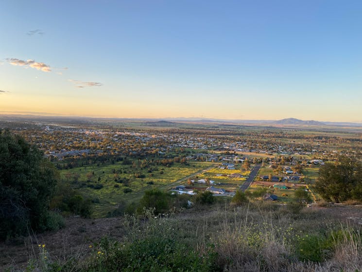
Perched on the southeastern edge of Gunnedah, just off Apex Road, Porcupine Lookout offers breathtaking views and a slice of local history.
Drive up the well-maintained tarred road (thanks to the Gunnedah Apex Club’s initiative) and you’ll find plenty of parking, a spacious picnic shelter, and cozy bench seating—perfect for a relaxing day out. While you’re there, why not explore the Bindea Walking Trails, named after the Kamilaroi word for "the place where shrubs with porcupine-like quills grow"?
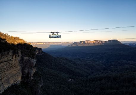
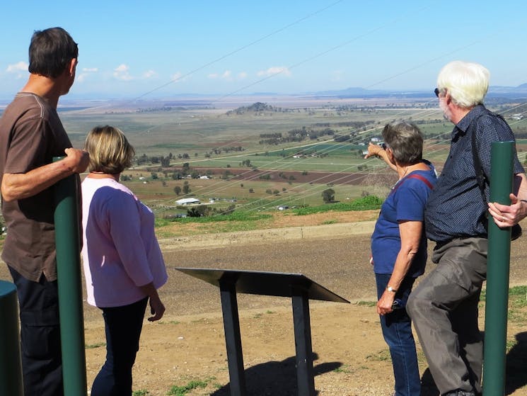
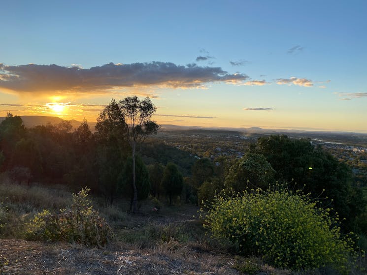
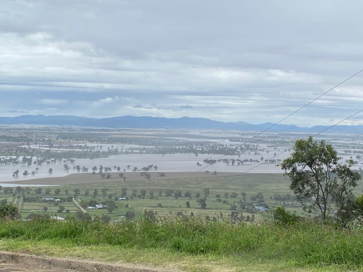
From the northern platform, take in sweeping views of Gunnedah, the distant Nandewar Range over 100 kilometres away, and the striking hills of Kelvin and the Boonalla Aboriginal Area. Be sure to look out for the iconic ‘Nobby’s Rock’, glowing in the afternoon sun. To the south, marvel at the lush agricultural plains of Breeza and Pullaming—transformed into a shimmering inland sea after heavy rains.
For thrill-seekers, Porcupine Lookout becomes a hive of excitement during Hill Climb events, hosted by the Gunnedah Motoring Enthusiasts. Watch competitors race to the summit in a fast-paced battle for the title of King of the Mountain!
Whether you're after stunning vistas, a taste of local culture, or an adrenaline rush, Porcupine Lookout is a must-visit destination.

